ꯐꯥꯏꯜ:Pakistan location map.svg

Size of this PNG preview of this SVG file: ২২০ × ১৭৬ ꯄꯤꯛꯆꯦꯜꯁ. ꯑꯇꯩ ꯔꯤꯁꯣꯂꯨꯁꯟ: ৩০০ × ২৪০ ꯄꯤꯛꯆꯦꯜꯁ.
ꯐꯥꯏꯜ ꯑꯁꯦꯡꯕ (ꯑꯦꯁ•ꯚꯤ•ꯖꯤ ꯐꯥꯏꯜ, ꯌꯥꯝꯗꯅ ২,৩৬৫ × ১,৮৯০ ꯄꯤꯛꯆꯦꯜ, ꯐꯥꯏꯜ ꯆꯥꯎꯕꯒꯤ ꯆꯥꯡ: ৩৯৭ KB)
ꯑꯇꯦꯟꯕꯥ ꯁꯟꯗꯣꯛꯅꯥ ꯇꯥꯛꯄꯥ
| ꯁꯟꯗꯣꯛꯅꯥ ꯇꯥꯛꯄꯥPakistan location map.svg |
English: Location map of Pakistan.
Equirectangular projection, N/S stretching 115%. Geographic limits:
Deutsch: Positionskarte von Pakistan.
Quadratische Plattkarte, N-S-Streckung 115 %. Geographische Begrenzung:
|
||
| ꯆꯩꯆꯠ | |||
| ꯍꯧꯔꯛꯐꯛ |
Own work, using:
|
||
| ꯄꯨꯊꯣꯛꯂꯤꯕ ꯃꯤ | NordNordWest | ||
| ꯑꯌꯥꯕ ꯂꯧꯕ (ꯃꯁꯤꯒꯤ ꯐꯥꯏꯜꯁꯤ ꯑꯃꯨꯛ ꯍꯟꯅꯥ ꯁꯤꯖꯤꯟꯅꯕꯥ) |
I, the copyright holder of this work, hereby publish it under the following licenses:
   ꯐꯥꯏꯜ ꯑꯁꯤ ꯀ꯭ꯔꯤꯌꯦꯇꯤꯚ ꯀꯣꯃꯣꯟꯁꯀꯤ Attribution-Share Alike 3.0 Unported ꯑꯌꯥꯕꯒꯤ ꯃꯈꯥꯗ ꯌꯥꯎꯕꯅꯤ ꯫
ꯅꯪ ꯅꯁꯥꯅꯥ ꯃꯁꯤꯒꯤ ꯑꯌꯥꯕꯁꯤ ꯈꯟꯕꯥ ꯌꯥꯅꯤ ꯫ |
||
| Other versions |
|



|
This map has been made or improved in the German Kartenwerkstatt (Map Lab). You can propose maps to improve as well.
|
Captions
Add a one-line explanation of what this file represents
Location map of Pakistan (without Indian-administered Kashmir)
پاکستان کے محلِ وقوع کا نقشہ (بھارت کے زیرِ قبضہ کشمیر کے بغیر)
پاکستان دے محلِ وقوع دا نقشہ (بھارت کے قبضے والے کشمیر توں بغیر)
ꯐꯥꯏꯜꯒꯤ ꯄꯨꯋꯥꯔꯤ
ꯆꯩꯆꯠ/ꯃꯇꯝꯗ ꯅꯝꯃꯨ ꯃꯇꯝ ꯑꯗꯨꯗ ꯐꯥꯏꯜ ꯑꯗꯨ ꯎꯅꯕ
| ꯆꯩꯆꯠ/ꯃꯇꯝ | ꯈꯨꯠꯄꯤꯈꯨꯖꯤꯟ | ꯄꯥꯛ ꯆꯥꯎꯕꯥ | ꯁꯤꯖꯤꯟꯅꯔꯤꯕ | ꯑꯄꯥꯝꯕ ꯐꯣꯡꯗꯣꯛ ꯎ | |
|---|---|---|---|---|---|
| ꯍꯧꯖꯤꯛꯀꯤ | ꯱꯵:꯵꯸, ꯴ ꯖꯨꯂꯥꯏ ꯲꯰꯲꯶ | 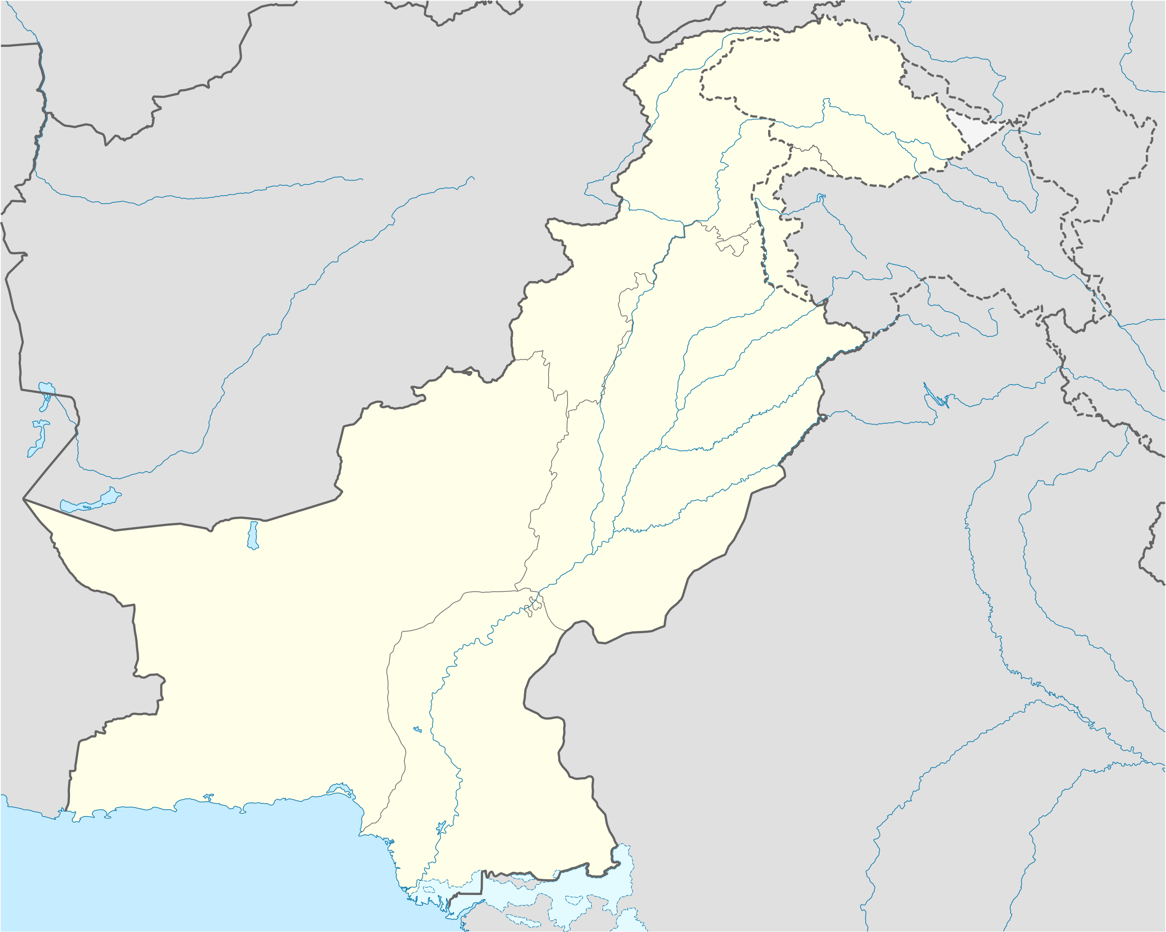 | ২,৩৬৫ × ১,৮৯০ (৩৯৭ KB) | smartcommons>Smart Sherlock | Siachen Glacier has not been under Pakistan's territorial control since 1984. See [https://en.wikipedia.org/wiki/Siachen_Glacier]. In order to reflect the de facto territorial control, changed the region's colour to #E0E0E0 |
ꯐꯥꯏꯜꯒꯤ ꯁꯤꯖꯤꯟꯅꯐꯝ
ꯃꯁꯤꯒꯤ ꯐꯥꯏꯜ ꯁꯤ ꯁꯤꯖꯤꯟꯅꯕ ꯂꯃꯥꯏꯁꯤꯡ ꯂꯩꯇꯦ ꯫
