ꯐꯥꯏꯜ:Pauri Garhwal district.svg

Size of this PNG preview of this SVG file: ২২০ × ১৯৮ ꯄꯤꯛꯆꯦꯜꯁ. ꯑꯇꯩ ꯔꯤꯁꯣꯂꯨꯁꯟ: ২৬৭ × ২৪০ ꯄꯤꯛꯆꯦꯜꯁ.
ꯐꯥꯏꯜ ꯑꯁꯦꯡꯕ (ꯑꯦꯁ•ꯚꯤ•ꯖꯤ ꯐꯥꯏꯜ, ꯌꯥꯝꯗꯅ ১,২৫০ × ১,১২৫ ꯄꯤꯛꯆꯦꯜ, ꯐꯥꯏꯜ ꯆꯥꯎꯕꯒꯤ ꯆꯥꯡ: ১৩৭ KB)

ꯑꯇꯦꯟꯕꯥ ꯁꯟꯗꯣꯛꯅꯥ ꯇꯥꯛꯄꯥ
| ꯁꯟꯗꯣꯛꯅꯥ ꯇꯥꯛꯄꯥPauri Garhwal district.svg |
English: Pauri Garhwal district in the state of Uttarakhand, India. Map is based on UttarakhandDistricts_numbered.svg |
| ꯆꯩꯆꯠ | |
| ꯍꯧꯔꯛꯐꯛ | ꯏꯁꯥ ꯏꯊꯟꯇꯒꯤ ꯑꯣꯏꯕꯥ ꯊꯕꯛ |
| ꯄꯨꯊꯣꯛꯂꯤꯕ ꯃꯤ | GDibyendu |
ꯑꯌꯥꯕꯥ
| Public domainPublic domainfalsefalse |

|
I, the copyright holder of this work, release this work into the public domain. This applies worldwide. In some countries this may not be legally possible; if so: I grant anyone the right to use this work for any purpose, without any conditions, unless such conditions are required by law. |
Captions
Add a one-line explanation of what this file represents
पौड़ी गढवाल
ꯐꯥꯏꯜꯒꯤ ꯄꯨꯋꯥꯔꯤ
ꯆꯩꯆꯠ/ꯃꯇꯝꯗ ꯅꯝꯃꯨ ꯃꯇꯝ ꯑꯗꯨꯗ ꯐꯥꯏꯜ ꯑꯗꯨ ꯎꯅꯕ
| ꯆꯩꯆꯠ/ꯃꯇꯝ | ꯈꯨꯠꯄꯤꯈꯨꯖꯤꯟ | ꯄꯥꯛ ꯆꯥꯎꯕꯥ | ꯁꯤꯖꯤꯟꯅꯔꯤꯕ | ꯑꯄꯥꯝꯕ ꯐꯣꯡꯗꯣꯛ ꯎ | |
|---|---|---|---|---|---|
| ꯍꯧꯖꯤꯛꯀꯤ | ꯰꯰:꯱꯹, ꯱꯷ ꯖꯥꯅꯨꯋꯥꯔꯤ ꯲꯰꯰꯹ | 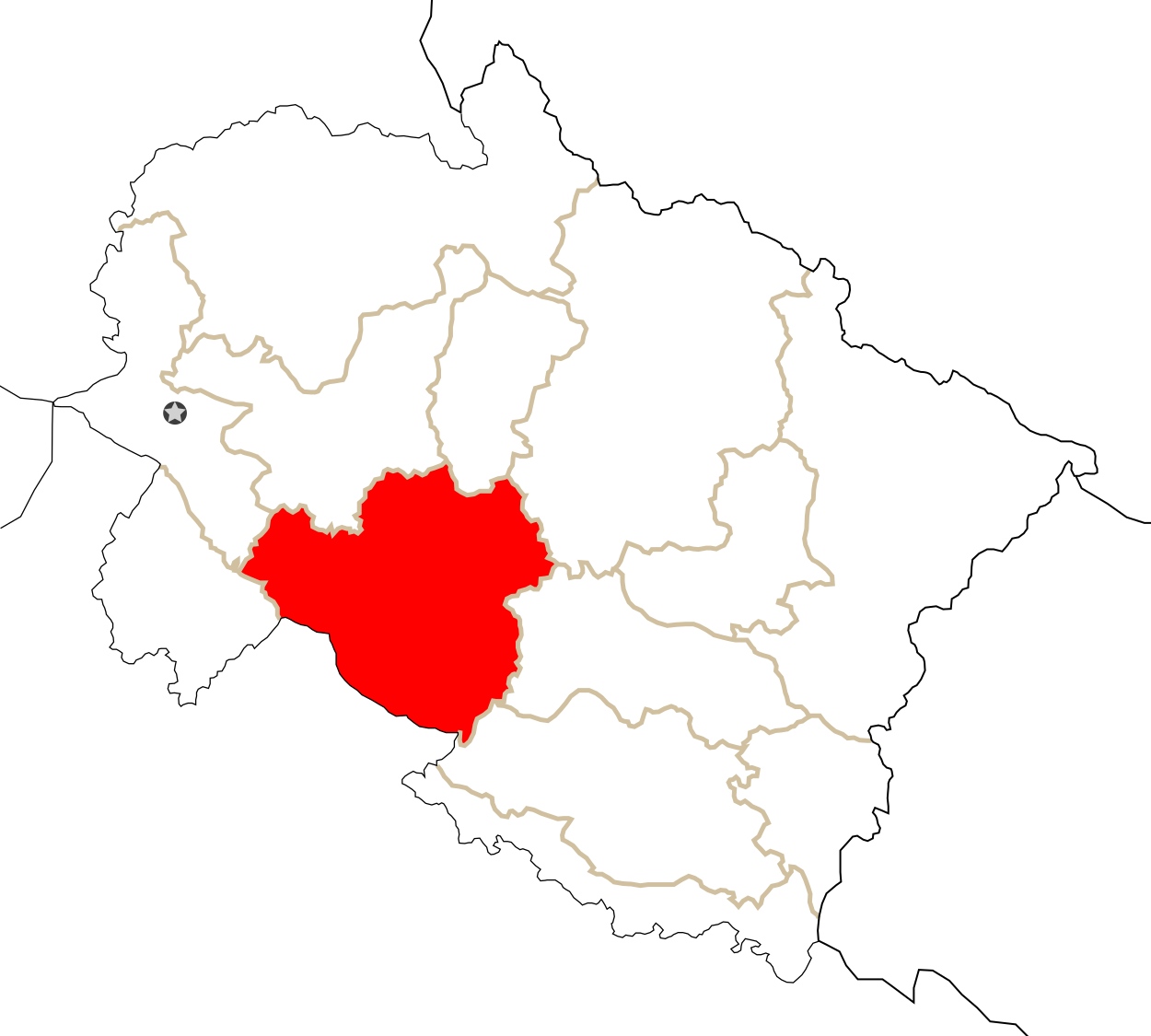 | ১,২৫০ × ১,১২৫ (১৩৭ KB) | smartcommons>GDibyendu | {{Information |Description={{en|1=Pauri Garhwal district in the state of Uttarakhand, India. Map is based on UttarakhandDistricts_numbered.svg}} |Source=Own work by uploader |Author=GDibyendu |Date=2009-01-17 |Permission= |other_version |
ꯐꯥꯏꯜꯒꯤ ꯁꯤꯖꯤꯟꯅꯐꯝ
ꯃꯁꯤꯒꯤ ꯐꯥꯏꯜ ꯁꯤ ꯁꯤꯖꯤꯟꯅꯕ ꯂꯃꯥꯏꯁꯤꯡ ꯂꯩꯇꯦ ꯫
