ꯐꯥꯏꯜ:China Tibet.svg

Size of this PNG preview of this SVG file: ২২০ × ১৮৭ ꯄꯤꯛꯆꯦꯜꯁ. ꯑꯇꯩ ꯔꯤꯁꯣꯂꯨꯁꯟ: ২৮২ × ২৪০ ꯄꯤꯛꯆꯦꯜꯁ.
ꯐꯥꯏꯜ ꯑꯁꯦꯡꯕ (ꯑꯦꯁ•ꯚꯤ•ꯖꯤ ꯐꯥꯏꯜ, ꯌꯥꯝꯗꯅ ১,০০০ × ৮৫০ ꯄꯤꯛꯆꯦꯜ, ꯐꯥꯏꯜ ꯆꯥꯎꯕꯒꯤ ꯆꯥꯡ: ১৩৫ KB)
| ꯁꯟꯗꯣꯛꯅꯥ ꯇꯥꯛꯄꯥChina Tibet.svg |
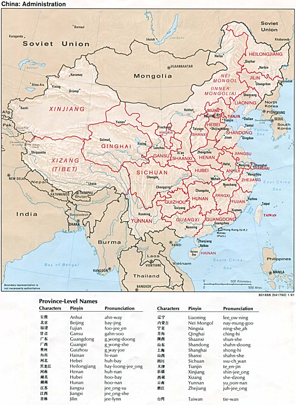
An SVG map of China with the Tibet autonomous region highlighted Legend: |
|||
| ꯆꯩꯆꯠ | ||||
| ꯍꯧꯔꯛꯐꯛ |
self-made; based on CIA public domain maps: |
|||
| ꯄꯨꯊꯣꯛꯂꯤꯕ ꯃꯤ | Joowwww | |||
| ꯑꯌꯥꯕ ꯂꯧꯕ (ꯃꯁꯤꯒꯤ ꯐꯥꯏꯜꯁꯤ ꯑꯃꯨꯛ ꯍꯟꯅꯥ ꯁꯤꯖꯤꯟꯅꯕꯥ) |
|
|||
| Other versions |
 |



Captions
Add a one-line explanation of what this file represents
خريطة التقسيمات الإدارية في الصين، توضح إقليم التبت باللون الأحمر.
ꯐꯥꯏꯜꯒꯤ ꯄꯨꯋꯥꯔꯤ
ꯆꯩꯆꯠ/ꯃꯇꯝꯗ ꯅꯝꯃꯨ ꯃꯇꯝ ꯑꯗꯨꯗ ꯐꯥꯏꯜ ꯑꯗꯨ ꯎꯅꯕ
| ꯆꯩꯆꯠ/ꯃꯇꯝ | ꯈꯨꯠꯄꯤꯈꯨꯖꯤꯟ | ꯄꯥꯛ ꯆꯥꯎꯕꯥ | ꯁꯤꯖꯤꯟꯅꯔꯤꯕ | ꯑꯄꯥꯝꯕ ꯐꯣꯡꯗꯣꯛ ꯎ | |
|---|---|---|---|---|---|
| ꯍꯧꯖꯤꯛꯀꯤ | ꯱꯹:꯳꯱, ꯳꯰ ꯃꯥꯔꯆ ꯲꯰꯱꯹ |  | ১,০০০ × ৮৫০ (১৩৫ KB) | smartcommons>Newfraferz87 | Need to move the shape to an upper layer … I rest my case :( |
ꯐꯥꯏꯜꯒꯤ ꯁꯤꯖꯤꯟꯅꯐꯝ
ꯃꯁꯤꯒꯤ ꯐꯥꯏꯜ ꯁꯤ ꯁꯤꯖꯤꯟꯅꯕ ꯂꯃꯥꯏꯁꯤꯡ ꯂꯩꯇꯦ ꯫
